The name "Pecos" derives from the Keresan (Native American language) term for the Pecos Pueblo, [p'æyok'ona].[6] The river was also historically referred to as the Río Natagés for the Mescalero people.[7]
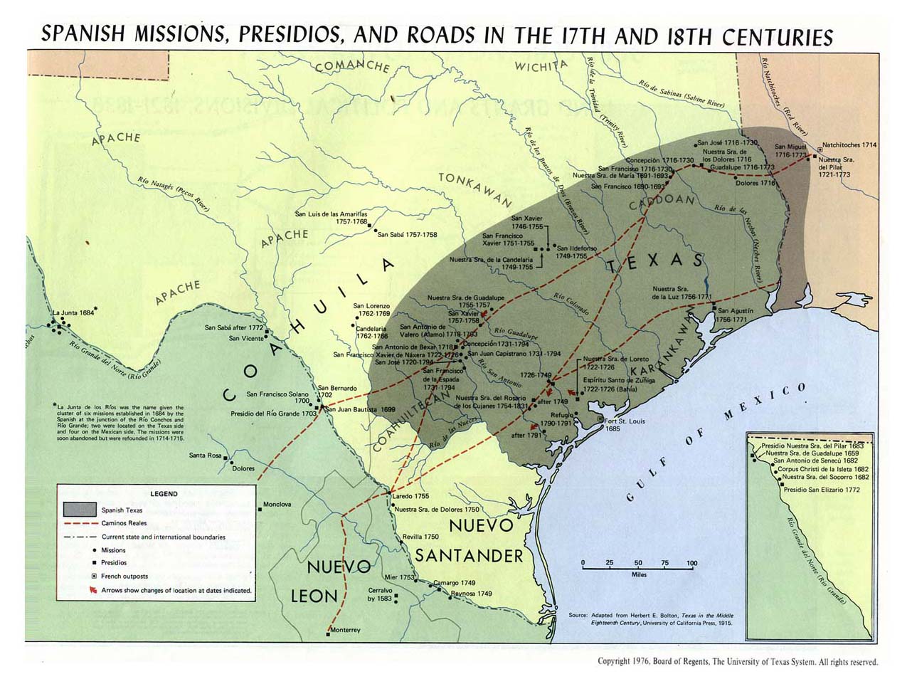
The river was the eastern territory of the Faraon (‘Pharaoh’) Apache Indians, a tribe of Apache, probably closely related to the Mescalero Apache, if not part of them. Their divisions were Ancavistis, Jacomis, Orejones, Carlanes, and Cuampes, but of these the Carlanes at least belonged to the Jicarillas. The river later played a large role in the exploration of Texas by the Spanish. In the latter half of the 19th century, "West of the Pecos" was a reference to the rugged desolation of the Wild West. New Mexico and Texas disputed water rights to the river until the U.S. government settled the dispute in 1949 with the Pecos River Compact.[8] The Pecos River Settlement Agreement was signed between New Mexico and Texas in 2003.[9]
Dams
Multiple dams have been built along the Pecos River. Santa Rosa Lake is 117 miles/188 km east of Albuquerque.[10] Sumner Lake, formed by the 1939 Sumner Dam, is located between Santa Rosa and Fort Sumner, NM.[11] Two dams are located north of Carlsbad, New Mexico, at Avalon Dam and Brantley Dam, to help irrigate about 25,000 acres (10,000 ha) as part of the Carlsbad reclamation project (established in 1906). Texas has also dammed the river at the Red Bluff Dam in the western part of that state to form the Red Bluff Reservoir. The portion of the reservoir that extends into New Mexico forms the lowest point in that state.
Wild and Scenic river
On June 6, 1990, 20.5 miles (33 km) of the Pecos River—from its headwaters to the townsite of Tererro—received National Wild and Scenic River designation. It includes 13.5 miles (22 km) designated "wild" and 7 miles (11 km) designated "recreational".[12]
Pecos River between Terrerro and Pecos, New Mexico
The Pecos River Flume is an aqueduct carrying irrigation water over the Pecos River. Construction took place from 1889 to 1890 and was part of the Pecos River Reclamation Project. It was originally constructed of wood and spanned 145 feet (44 m). It carried water at a depth of 8 feet (2.4 m). In 1902, a flood destroyed the flume and it was subsequently rebuilt using concrete. In 1902, it was identified as the largest concrete aqueduct in the world.[13][14]
The flume and its surrounding area have been reclaimed by the city of Carlsbad and transformed into a tourist attraction, with park improvements along the river and spotlights to give a spectacular nightly view.
^ ab"Water Bulletin Number 75: Flow of the Rio Grande and Related Data; From Elephant Butte Dam, New Mexico to the Gulf of Mexico". International Boundary and Water Commission. 2005. Retrieved 17 July 2010.
^"How to Pronounce: P Cities". texastripper.com. 23 September 2014. Retrieved 4 September 2016.
^. www.ose.state.nm.us. Archived from the original on 2005-11-14.
^Bright, William (2004). Native American placenames of the United States. University of Oklahoma Press. p. 375. ISBN978-0-8061-3598-4. Retrieved 11 April 2011.
^Pecos Wild and Scenic River, New Mexico 2010-06-10 at the Wayback Machine - National Wild and Scenic Rivers System
^Phil T. Archuletta; Sharyl S. Holden (June 2003). Traveling New Mexico: a guide to the historical and state park markers. Sunstone Press. pp. 116–. ISBN978-0-86534-400-6. Retrieved 3 December 2011.
^American Concrete Institute (2002). Concrete international. Design & construction. The Institute. Retrieved 3 December 2011.
Public domain images of the Llano Estacado and West Texas
June 03, 2023
pecos, river, kəs, spanish, río, pecos, originates, north, central, mexico, flows, into, texas, emptying, into, grande, headwaters, eastern, slope, sangre, cristo, mountain, range, mora, county, north, pecos, mexico, elevation, over, feet, river, flows, miles,. The Pecos River ˈ p eɪ k e s PAY kes 4 Spanish Rio Pecos originates in north central New Mexico and flows into Texas emptying into the Rio Grande Its headwaters are on the eastern slope of the Sangre de Cristo mountain range in Mora County north of Pecos New Mexico at an elevation of over 12 000 feet 3 700 m 5 The river flows for 926 miles 1 490 km before reaching the Rio Grande near Del Rio Its drainage basin encompasses about 44 300 square miles 115 000 km2 2 Pecos RiverRio PecosRio NatagesPecos River High Bridge near Langtry Val Verde County TexasMap of the Pecos River watershed LocationCountryUnited StatesStateTexas New MexicoPhysical characteristicsSourcePecos Falls location29 mi 47 km north of Pecos New Mexico coordinates35 58 34 N 105 33 29 W 35 97611 N 105 55806 W 35 97611 105 55806 1 elevation11 759 ft 3 584 m MouthRio Grande locationSeminole Canyon Val Verde County 37 mi 60 km northwest of Del Rio Texas coordinates29 41 59 N 101 22 17 W 29 69972 N 101 37139 W 29 69972 101 37139 1 elevation1 115 ft 340 m Length926 mi 1 490 km 2 Basin size44 402 sq mi 115 000 km2 2 Discharge locationIBWC station 08 4474 10 near Langtry Texas 3 average265 cu ft s 7 5 m3 s 3 minimum42 cu ft s 1 2 m3 s maximum152 910 cu ft s 4 330 m3 s National Wild and Scenic RiverTypeWild RecreationalDesignatedJune 6 1990The name Pecos derives from the Keresan Native American language term for the Pecos Pueblo p aeyok ona 6 The river was also historically referred to as the Rio Natages for the Mescalero people 7 Contents 1 History 2 Dams 3 Wild and Scenic river 4 Pecos River Flume 5 See also 6 References 7 External linksHistory EditThe river was the eastern territory of the Faraon Pharaoh Apache Indians a tribe of Apache probably closely related to the Mescalero Apache if not part of them Their divisions were Ancavistis Jacomis Orejones Carlanes and Cuampes but of these the Carlanes at least belonged to the Jicarillas The river later played a large role in the exploration of Texas by the Spanish In the latter half of the 19th century West of the Pecos was a reference to the rugged desolation of the Wild West New Mexico and Texas disputed water rights to the river until the U S government settled the dispute in 1949 with the Pecos River Compact 8 The Pecos River Settlement Agreement was signed between New Mexico and Texas in 2003 9 Dams EditMultiple dams have been built along the Pecos River Santa Rosa Lake is 117 miles 188 km east of Albuquerque 10 Sumner Lake formed by the 1939 Sumner Dam is located between Santa Rosa and Fort Sumner NM 11 Two dams are located north of Carlsbad New Mexico at Avalon Dam and Brantley Dam to help irrigate about 25 000 acres 10 000 ha as part of the Carlsbad reclamation project established in 1906 Texas has also dammed the river at the Red Bluff Dam in the western part of that state to form the Red Bluff Reservoir The portion of the reservoir that extends into New Mexico forms the lowest point in that state Wild and Scenic river EditOn June 6 1990 20 5 miles 33 km of the Pecos River from its headwaters to the townsite of Tererro received National Wild and Scenic River designation It includes 13 5 miles 22 km designated wild and 7 miles 11 km designated recreational 12 Pecos River between Terrerro and Pecos New Mexico The Pecos River flowing south of Grandfalls Texas Pecos River near the Rio Grande Pecos River Highway BridgePecos River Flume Edit Pecos River Flume The Pecos River Flume is an aqueduct carrying irrigation water over the Pecos River Construction took place from 1889 to 1890 and was part of the Pecos River Reclamation Project It was originally constructed of wood and spanned 145 feet 44 m It carried water at a depth of 8 feet 2 4 m In 1902 a flood destroyed the flume and it was subsequently rebuilt using concrete In 1902 it was identified as the largest concrete aqueduct in the world 13 14 The flume and its surrounding area have been reclaimed by the city of Carlsbad and transformed into a tourist attraction with park improvements along the river and spotlights to give a spectacular nightly view See also EditList of longest rivers of the United States by main stem List of tributaries of the Rio Grande List of rivers of New Mexico List of rivers of TexasReferences Edit a b U S Geological Survey Geographic Names Information System Pecos River a b c Largest Rivers of the United States USGS a b Water Bulletin Number 75 Flow of the Rio Grande and Related Data From Elephant Butte Dam New Mexico to the Gulf of Mexico International Boundary and Water Commission 2005 Retrieved 17 July 2010 How to Pronounce P Cities texastripper com 23 September 2014 Retrieved 4 September 2016 Office of the State Engineer Interstate Stream Commission Basins and Programs Pecos River Basin www ose state nm us Archived from the original on 2005 11 14 Bright William 2004 Native American placenames of the United States University of Oklahoma Press p 375 ISBN 978 0 8061 3598 4 Retrieved 11 April 2011 https legacy lib utexas edu maps atlas texas texas spanish missions jpg bare URL image file Pecos River Compact state nm us Pecos River Settlement Agreement EMNRD www emnrd state nm us EMNRD www emnrd state nm us Pecos Wild and Scenic River New Mexico Archived 2010 06 10 at the Wayback Machine National Wild and Scenic Rivers System Phil T Archuletta Sharyl S Holden June 2003 Traveling New Mexico a guide to the historical and state park markers Sunstone Press pp 116 ISBN 978 0 86534 400 6 Retrieved 3 December 2011 American Concrete Institute 2002 Concrete international Design amp construction The Institute Retrieved 3 December 2011 External links EditPecos River from the Handbook of Texas Online Public domain images of the Llano Estacado and West Texas Retrieved from https en wikipedia org w index php title Pecos River amp oldid 1155390973, wikipedia, wiki, book, books, library,